MTG-I2 satellite delivers first images and cloud animation
The European Space Agency and EUMETSAT have released the first images and a 45-hour animation from the new MTG-I2 weather satellite, showing detailed cloud movement across Europe and North Africa at 2.5-minute intervals.
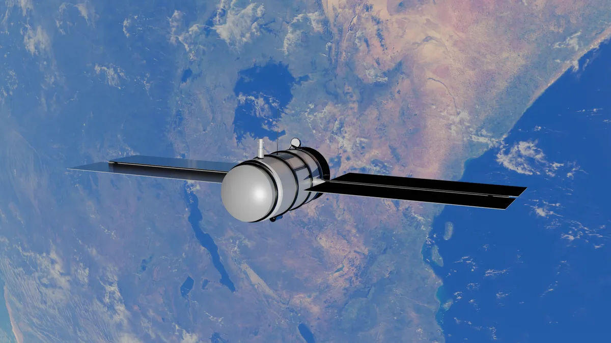
The European Space Agency and EUMETSAT have released the first images and a 45-hour animation from the MTG-I2 satellite, showing cloud movement across Europe and North Africa. The footage, which began on 3 November 2026, reveals low clouds over central Europe, convective clouds over the Mediterranean, and wildfire smoke over central Portugal.
Phil Evans noted that "just two months after launch, MTG-I2 had demonstrated the potential of rapid-scan observation." The satellite operates from a geostationary orbit approximately 36,000 kilometers above Earth's surface. Each frame in the animation was taken just 150 seconds after the previous one.
Satellite technology and scanning modes
MTG-I2 carries the Flexible Combined Imager with multiple scanning modes, including a rapid-scan mode that images Europe and North Africa every 2.5 minutes. The FCI observes Earth through 16 spectral channels covering wavelengths from 0.3 to 13.3 micrometers. It has two main scanning modes: a full-disc mode that scans the entire visible Earth every 10 minutes, and the rapid-scan mode focused on Europe and North Africa.
The satellite was launched on August 27, 2026, from French Guiana. The first full-disk image was captured on October 20, 2026. Formal operations are expected to begin in the second quarter of 2027. Once operational, the 2.5-minute observation frequency will be double that of the previous generation's rapid-scan service.
The MTG program includes imaging and sounding satellites. The instrument's spectral channels and resolution allow it to distinguish different atmospheric features clearly.
| Feature | Specification |
|---|---|
| Orbit Altitude | ~36,000 km |
| Full-Disc Scan Interval | 10 minutes |
| Rapid-Scan Interval (Europe/N. Africa) | 2.5 minutes |
| FCI Spectral Channels | 16 |
| High-Resolution Channels | 0.640 µm & 2.25 µm (500 m resolution) |
| Launch Date | August 27, 2026 |
| First Image Date | October 20, 2026 |
| Expected Operational Start | Q2 2027 (April-June) |
MTG-I2 also carries a Lightning Imager. A third satellite, MTG-S1, launched in 2025, is the first to make infrared sounder observations from geostationary orbit for Europe. The MTG program is expected to run beyond 2040, with the next group of satellites planned for launch from 2033.
Environmental context: wildfire smoke
Footage from MTG-I2 reveals wildfire smoke over central Portugal, adding an environmental dimension to the weather observation. The smoke demonstrates how particulate matter can travel far beyond the fire itself, carried by winds through different atmospheric layers. This movement can affect air quality and visibility over distant areas.
The animation also tracks various weather systems. Low clouds and fog linger over central Europe. Large convective clouds develop over the Mediterranean. Over the Atlantic, clouds at different altitudes can be seen moving in opposite directions.
Julia Hunter-Anderson stated that "once operational preparations are complete, MTG-I2 will make observations at 2.5-minute intervals possible." Formal operations of MTG-I2 are expected to begin in Q2 2027, after which the satellite will provide regular rapid-scan imagery.